
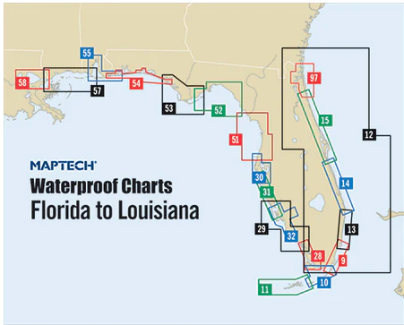
Fernandina Beach to St. Augustine and Jacksonville Waterproof Chart, 2nd Edition
Inshore coverage of Florida’s First Coast & the Saint John’s River to Jacksonville. Contains pre-plotted GPS waypoints and courses, marine facilities, artificial reefs and wrecks, and gamefish. Approximate scales 1: 106,666 and 1: 26,666 with insets.
Informations sur le produit
Informations sur le produit
Livraison et retours
Livraison et retours

Fernandina Beach to St. Augustine and Jacksonville Waterproof Chart, 2nd Edition
Fernandina Beach to St. Augustine and Jacksonville Waterproof Chart, 2nd Edition
Inshore coverage of Florida’s First Coast & the Saint John’s River to Jacksonville. Contains pre-plotted GPS waypoints and courses, marine facilities, artificial reefs and wrecks, and gamefish. Approximate scales 1: 106,666 and 1: 26,666 with insets.
Informations sur le produit
Informations sur le produit
Livraison et retours
Livraison et retours
Description
Inshore coverage of Florida’s First Coast & the Saint John’s River to Jacksonville. Contains pre-plotted GPS waypoints and courses, marine facilities, artificial reefs and wrecks, and gamefish. Approximate scales 1: 106,666 and 1: 26,666 with insets.


