✨ Nouveautés fraîchement arrivées !Explorer

Tampa Bay to Tarpon Springs Waterproof Chart, 4th Edition
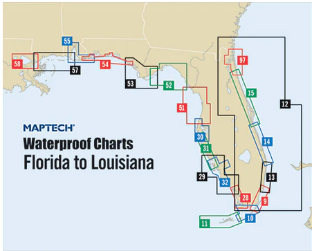
Tampa Bay and coast to Port Richey. Featuring waypoints for major buoys, courses and distances, fishing sites, anchorages, and ramp locations. 24" x 36", scale 1:53,000 with insets.
Informations sur le produit
Informations sur le produit
Livraison et retours
Livraison et retours

Tampa Bay to Tarpon Springs Waterproof Chart, 4th Edition
Tampa Bay to Tarpon Springs Waterproof Chart, 4th Edition
Tampa Bay and coast to Port Richey. Featuring waypoints for major buoys, courses and distances, fishing sites, anchorages, and ramp locations. 24" x 36", scale 1:53,000 with insets.
$27.95
Tampa Bay to Tarpon Springs Waterproof Chart, 4th Edition—
$27.95
Informations sur le produit
Informations sur le produit
Livraison et retours
Livraison et retours
Description
Tampa Bay and coast to Port Richey. Featuring waypoints for major buoys, courses and distances, fishing sites, anchorages, and ramp locations. 24" x 36", scale 1:53,000 with insets.


