
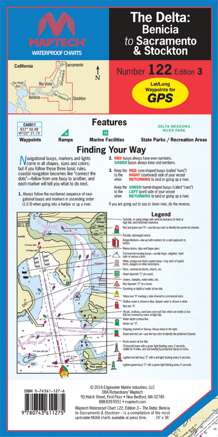
The Delta-Benicia to Sacramento & Stockton Waterproof Chart, 3rd Edition
The Sacramento and San Joaquin rivers to Suisun Bay. Inludes Antioch, Sacramento, Stockton, Bethel and Andrus islands, and Mossdale. Featuring GPS waypoints, nearly 100 marine facilities, and boat ramps. 24 in. x 36 in., scale 1:53,333 with insets.
Informations sur le produit
Informations sur le produit
Livraison et retours
Livraison et retours

The Delta-Benicia to Sacramento & Stockton Waterproof Chart, 3rd Edition
The Delta-Benicia to Sacramento & Stockton Waterproof Chart, 3rd Edition
The Sacramento and San Joaquin rivers to Suisun Bay. Inludes Antioch, Sacramento, Stockton, Bethel and Andrus islands, and Mossdale. Featuring GPS waypoints, nearly 100 marine facilities, and boat ramps. 24 in. x 36 in., scale 1:53,333 with insets.
Informations sur le produit
Informations sur le produit
Livraison et retours
Livraison et retours
Description
The Sacramento and San Joaquin rivers to Suisun Bay. Inludes Antioch, Sacramento, Stockton, Bethel and Andrus islands, and Mossdale. Featuring GPS waypoints, nearly 100 marine facilities, and boat ramps. 24 in. x 36 in., scale 1:53,333 with insets.


