Transas TX-97 Chart Region ZR00: World Chart Folio
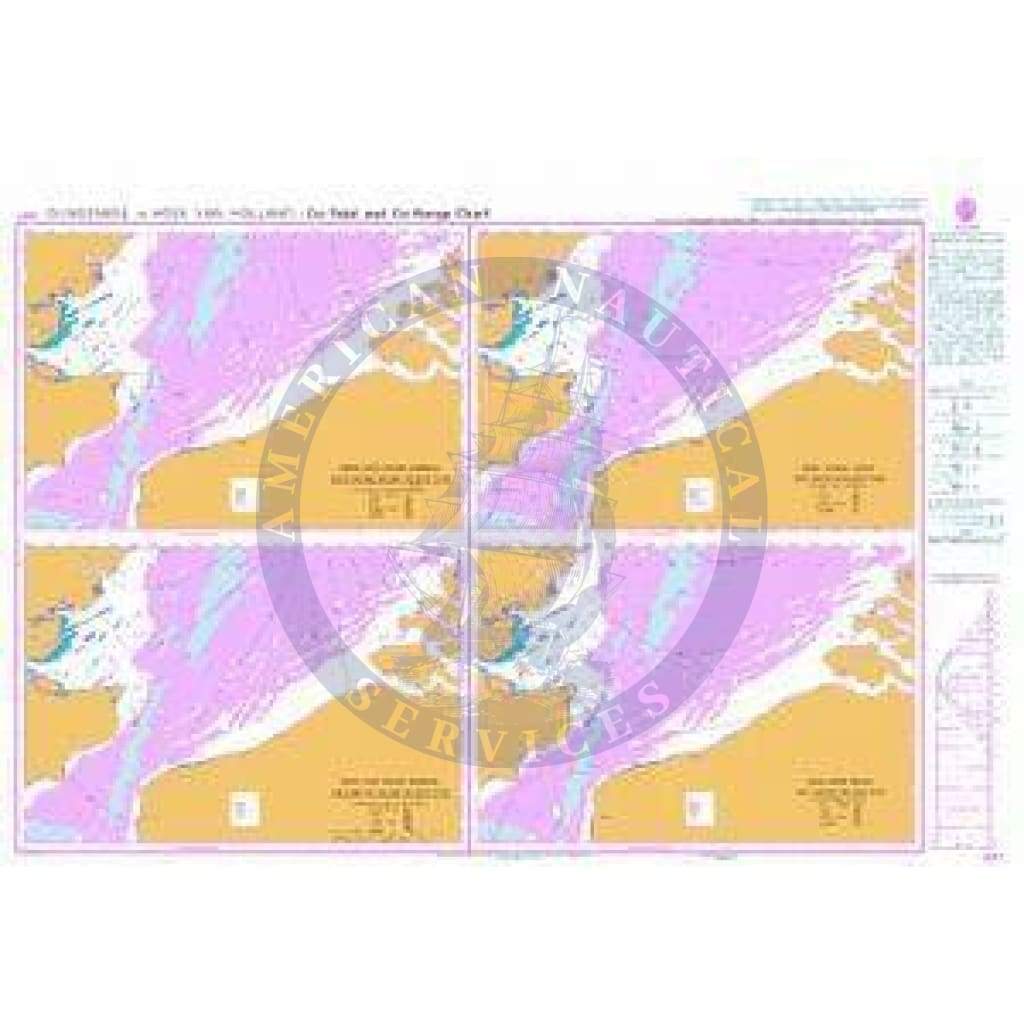
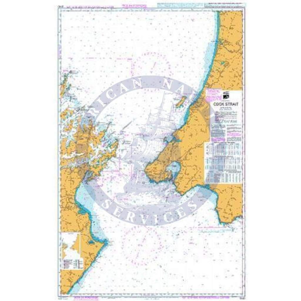
The Transas TX-97 Chart Region ZR00 provides a global overview with worldwide chart coverage, designed to give mariners a broad-scale reference of international waters, continents, and oceanic regions. As the foundational World Chart Folio, ZR00 supports global situational awareness and long-range passage planning, complementing detailed regional folios within the TX-97 series.
Developed in the proven TX-97 vector chart format, the World Chart Folio offers consistent symbolization, scalable presentation, and seamless coverage across all major oceans and landmasses. It is particularly useful for high-level route planning and global orientation, serving as the “big picture” layer alongside localized chart packages.
Key Features:
-
Complete worldwide electronic chart coverage for global situational awareness
-
Provides a broad-scale overview of oceans, continents, and major sea areas
-
Developed in the TX-97 vector chart format for clarity, seamless scaling, and symbol consistency
-
Fully compatible with Transas ECS (Electronic Chart System) and ECDIS (Electronic Chart Display and Information System)
-
Ideal as a planning tool and global reference layer when combined with detailed regional TX-97 folios
Important Note:
The World Chart Folio (ZR00) is intended for overview and planning purposes only. It is not a substitute for regional or detailed navigational charts required for safe passage in coastal, harbor, or restricted waters.
Informations sur le produit
Informations sur le produit
Livraison et retours
Livraison et retours

Transas TX-97 Chart Region ZR00: World Chart Folio
Transas TX-97 Chart Region ZR00: World Chart Folio
The Transas TX-97 Chart Region ZR00 provides a global overview with worldwide chart coverage, designed to give mariners a broad-scale reference of international waters, continents, and oceanic regions. As the foundational World Chart Folio, ZR00 supports global situational awareness and long-range passage planning, complementing detailed regional folios within the TX-97 series.
Developed in the proven TX-97 vector chart format, the World Chart Folio offers consistent symbolization, scalable presentation, and seamless coverage across all major oceans and landmasses. It is particularly useful for high-level route planning and global orientation, serving as the “big picture” layer alongside localized chart packages.
Key Features:
-
Complete worldwide electronic chart coverage for global situational awareness
-
Provides a broad-scale overview of oceans, continents, and major sea areas
-
Developed in the TX-97 vector chart format for clarity, seamless scaling, and symbol consistency
-
Fully compatible with Transas ECS (Electronic Chart System) and ECDIS (Electronic Chart Display and Information System)
-
Ideal as a planning tool and global reference layer when combined with detailed regional TX-97 folios
Important Note:
The World Chart Folio (ZR00) is intended for overview and planning purposes only. It is not a substitute for regional or detailed navigational charts required for safe passage in coastal, harbor, or restricted waters.
Informations sur le produit
Informations sur le produit
Livraison et retours
Livraison et retours
Description
The Transas TX-97 Chart Region ZR00 provides a global overview with worldwide chart coverage, designed to give mariners a broad-scale reference of international waters, continents, and oceanic regions. As the foundational World Chart Folio, ZR00 supports global situational awareness and long-range passage planning, complementing detailed regional folios within the TX-97 series.
Developed in the proven TX-97 vector chart format, the World Chart Folio offers consistent symbolization, scalable presentation, and seamless coverage across all major oceans and landmasses. It is particularly useful for high-level route planning and global orientation, serving as the “big picture” layer alongside localized chart packages.
Key Features:
-
Complete worldwide electronic chart coverage for global situational awareness
-
Provides a broad-scale overview of oceans, continents, and major sea areas
-
Developed in the TX-97 vector chart format for clarity, seamless scaling, and symbol consistency
-
Fully compatible with Transas ECS (Electronic Chart System) and ECDIS (Electronic Chart Display and Information System)
-
Ideal as a planning tool and global reference layer when combined with detailed regional TX-97 folios
Important Note:
The World Chart Folio (ZR00) is intended for overview and planning purposes only. It is not a substitute for regional or detailed navigational charts required for safe passage in coastal, harbor, or restricted waters.