
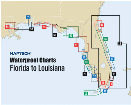
Mobile Bay to Pensacola Waterproof Chart, 2nd Edition
Coverage of Mobile Bay and approaches with the Gulf ICW and nearcoastal route to Pensacola. Waypoints for major aids to navigation, pre-plotted courses and distances, public boat launch locations, and wreck sites. 24" x 36", scale 1:106,666 with insets.
Informations sur le produit
Informations sur le produit
Livraison et retours
Livraison et retours

Mobile Bay to Pensacola Waterproof Chart, 2nd Edition
Mobile Bay to Pensacola Waterproof Chart, 2nd Edition
Coverage of Mobile Bay and approaches with the Gulf ICW and nearcoastal route to Pensacola. Waypoints for major aids to navigation, pre-plotted courses and distances, public boat launch locations, and wreck sites. 24" x 36", scale 1:106,666 with insets.
Original : $346,000.00
-70%$346,000.00
$103,800.00Informations sur le produit
Informations sur le produit
Livraison et retours
Livraison et retours
Description
Coverage of Mobile Bay and approaches with the Gulf ICW and nearcoastal route to Pensacola. Waypoints for major aids to navigation, pre-plotted courses and distances, public boat launch locations, and wreck sites. 24" x 36", scale 1:106,666 with insets.


