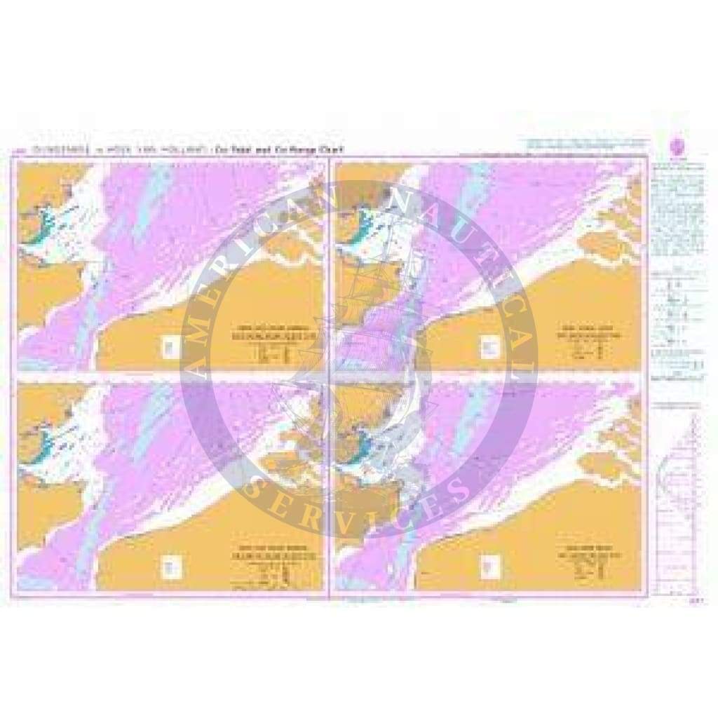
Imray Chart C80: British Isles
C80 British Isles
Scale: 1:1 500 000 WGS 84
Imray
A new addition to Imray’s C chart series, this chart provides an overview of Britain, Ireland and adjacent islands including Orkney and Shetland.
Coverage also extends further north to encompass the Faeroe Islands.
Waterproof Folded – This chart is waterproof, folded, and in a plastic wallet or flat.
Water-Resistant Rolled – This is a water-resistant print on demand (POD) chart that is printed up to date and is ideal for framing.
Informations sur le produit
Informations sur le produit
Livraison et retours
Livraison et retours

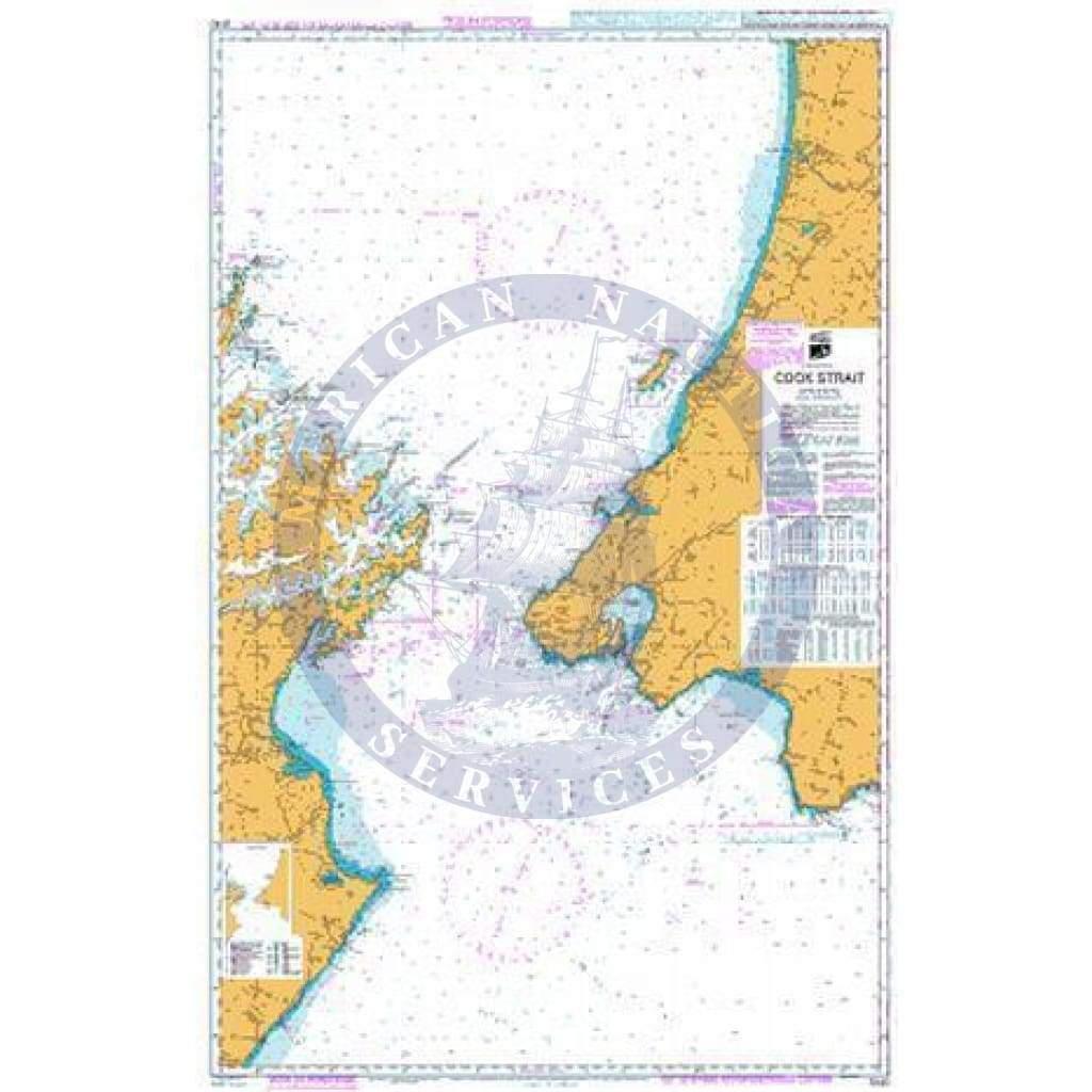
Imray Chart C80: British Isles
Imray Chart C80: British Isles
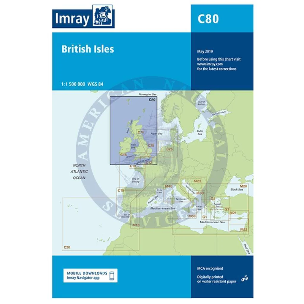
C80 British Isles
Scale: 1:1 500 000 WGS 84
Imray
A new addition to Imray’s C chart series, this chart provides an overview of Britain, Ireland and adjacent islands including Orkney and Shetland.
Coverage also extends further north to encompass the Faeroe Islands.
Waterproof Folded – This chart is waterproof, folded, and in a plastic wallet or flat.
Water-Resistant Rolled – This is a water-resistant print on demand (POD) chart that is printed up to date and is ideal for framing.
Informations sur le produit
Informations sur le produit
Livraison et retours
Livraison et retours
Description
C80 British Isles
Scale: 1:1 500 000 WGS 84
Imray
A new addition to Imray’s C chart series, this chart provides an overview of Britain, Ireland and adjacent islands including Orkney and Shetland.
Coverage also extends further north to encompass the Faeroe Islands.
Waterproof Folded – This chart is waterproof, folded, and in a plastic wallet or flat.
Water-Resistant Rolled – This is a water-resistant print on demand (POD) chart that is printed up to date and is ideal for framing.