✨ Nouveautés fraîchement arrivées !Explorer

Imray Chart C4: Needles Channel to Bill of Portland
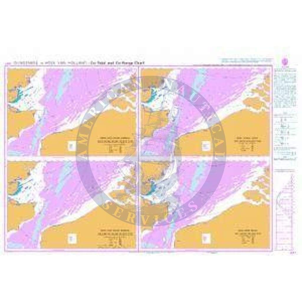
C4 Needles Channel to Bill of Portland
Scale: 1:75,000 WGS 84
Imray
Chart scale 1:75 000
Plans included:
Portland Harbour (1:20 000)
Weymouth Harbour (1:7500)
Lulworth Cove (1:4500)
Worbarrow Bay (1:15 000)
Chapman’s Pool (1:14 500)
Swanage (1:12 500)
Studland Bay (1:12 500)
Christchurch (1:20 000)
Continuation of River Stour (1:7500)
On this edition the latest depth surveys have been applied where available. A new plan of Chapman’s Pool is now included on this chart. The chart specification has been improved to show coloured light flashes. There has been general updating throughout.
Waterproof Folded – This chart is waterproof, folded, and in a plastic wallet or flat.
Water-Resistant Rolled – This is a water-resistant print on demand (POD) chart that is printed up to date and is ideal for framing.
Informations sur le produit
Informations sur le produit
Livraison et retours
Livraison et retours


Imray Chart C4: Needles Channel to Bill of Portland
Imray Chart C4: Needles Channel to Bill of Portland
C4 Needles Channel to Bill of Portland
Scale: 1:75,000 WGS 84
Imray
Chart scale 1:75 000
Plans included:
Portland Harbour (1:20 000)
Weymouth Harbour (1:7500)
Lulworth Cove (1:4500)
Worbarrow Bay (1:15 000)
Chapman’s Pool (1:14 500)
Swanage (1:12 500)
Studland Bay (1:12 500)
Christchurch (1:20 000)
Continuation of River Stour (1:7500)
On this edition the latest depth surveys have been applied where available. A new plan of Chapman’s Pool is now included on this chart. The chart specification has been improved to show coloured light flashes. There has been general updating throughout.
Waterproof Folded – This chart is waterproof, folded, and in a plastic wallet or flat.
Water-Resistant Rolled – This is a water-resistant print on demand (POD) chart that is printed up to date and is ideal for framing.
Scale: 1:75,000 WGS 84
Imray
Chart scale 1:75 000
Plans included:
Portland Harbour (1:20 000)
Weymouth Harbour (1:7500)
Lulworth Cove (1:4500)
Worbarrow Bay (1:15 000)
Chapman’s Pool (1:14 500)
Swanage (1:12 500)
Studland Bay (1:12 500)
Christchurch (1:20 000)
Continuation of River Stour (1:7500)
On this edition the latest depth surveys have been applied where available. A new plan of Chapman’s Pool is now included on this chart. The chart specification has been improved to show coloured light flashes. There has been general updating throughout.
Waterproof Folded – This chart is waterproof, folded, and in a plastic wallet or flat.
Water-Resistant Rolled – This is a water-resistant print on demand (POD) chart that is printed up to date and is ideal for framing.
Choisir Media
À partir de $10.49
Original : $34.95
-70%Imray Chart C4: Needles Channel to Bill of Portland—
$34.95
$10.49Informations sur le produit
Informations sur le produit
Livraison et retours
Livraison et retours
Description
C4 Needles Channel to Bill of Portland
Scale: 1:75,000 WGS 84
Imray
Chart scale 1:75 000
Plans included:
Portland Harbour (1:20 000)
Weymouth Harbour (1:7500)
Lulworth Cove (1:4500)
Worbarrow Bay (1:15 000)
Chapman’s Pool (1:14 500)
Swanage (1:12 500)
Studland Bay (1:12 500)
Christchurch (1:20 000)
Continuation of River Stour (1:7500)
On this edition the latest depth surveys have been applied where available. A new plan of Chapman’s Pool is now included on this chart. The chart specification has been improved to show coloured light flashes. There has been general updating throughout.
Waterproof Folded – This chart is waterproof, folded, and in a plastic wallet or flat.
Water-Resistant Rolled – This is a water-resistant print on demand (POD) chart that is printed up to date and is ideal for framing.
Scale: 1:75,000 WGS 84
Imray
Chart scale 1:75 000
Plans included:
Portland Harbour (1:20 000)
Weymouth Harbour (1:7500)
Lulworth Cove (1:4500)
Worbarrow Bay (1:15 000)
Chapman’s Pool (1:14 500)
Swanage (1:12 500)
Studland Bay (1:12 500)
Christchurch (1:20 000)
Continuation of River Stour (1:7500)
On this edition the latest depth surveys have been applied where available. A new plan of Chapman’s Pool is now included on this chart. The chart specification has been improved to show coloured light flashes. There has been general updating throughout.
Waterproof Folded – This chart is waterproof, folded, and in a plastic wallet or flat.
Water-Resistant Rolled – This is a water-resistant print on demand (POD) chart that is printed up to date and is ideal for framing.