
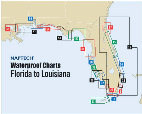
Horseshoe Beach to Carrabelle Waterproof Chart, 1st Edition
Includes insets for Horshoe Beach, St. Marks River, and Carrabelle. Features waypoints for major aids to navigation, pre-plotted courses and distances, public boat launch locations, fish and dive sites and tables. 24" x 36", scale 1:114,285 with insets.
Informations sur le produit
Informations sur le produit
Livraison et retours
Livraison et retours

Horseshoe Beach to Carrabelle Waterproof Chart, 1st Edition
Horseshoe Beach to Carrabelle Waterproof Chart, 1st Edition
Includes insets for Horshoe Beach, St. Marks River, and Carrabelle. Features waypoints for major aids to navigation, pre-plotted courses and distances, public boat launch locations, fish and dive sites and tables. 24" x 36", scale 1:114,285 with insets.
Informations sur le produit
Informations sur le produit
Livraison et retours
Livraison et retours
Description
Includes insets for Horshoe Beach, St. Marks River, and Carrabelle. Features waypoints for major aids to navigation, pre-plotted courses and distances, public boat launch locations, fish and dive sites and tables. 24" x 36", scale 1:114,285 with insets.


