
San Francisco Bay Waterproof Chart, 3rd Edition
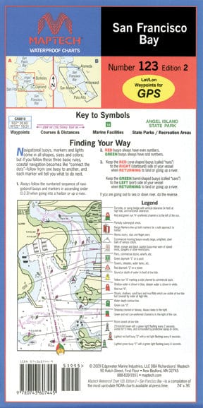
Covers the middle and southern Bay from Richmond to Palo Alto. Featuring GPS waypoints, pre-plotted courses and distances, 42 marine facilities with service information, state and federal parks. 24" x 36", scales 1:26,666 and 1:80,000 with insets.
Informations sur le produit
Informations sur le produit
Livraison et retours
Livraison et retours

San Francisco Bay Waterproof Chart, 3rd Edition
San Francisco Bay Waterproof Chart, 3rd Edition
Covers the middle and southern Bay from Richmond to Palo Alto. Featuring GPS waypoints, pre-plotted courses and distances, 42 marine facilities with service information, state and federal parks. 24" x 36", scales 1:26,666 and 1:80,000 with insets.
Informations sur le produit
Informations sur le produit
Livraison et retours
Livraison et retours
Description
Covers the middle and southern Bay from Richmond to Palo Alto. Featuring GPS waypoints, pre-plotted courses and distances, 42 marine facilities with service information, state and federal parks. 24" x 36", scales 1:26,666 and 1:80,000 with insets.


