
Chart Kit Region 3: New York to Nantucket and Cape May NJ, 18th Edition
Maptech Chart Kit Region 3, 17th Edition 2019 - New York to Nantucket and to Cape May, New Jersey.
Maptech's Chart Kit books are full-color reproductions of NOAA charts bundled together in large cruising regions. Chart Kit has been a mainstay of boating for generations -- more than 1 million Chart Kit books have been sold in the past 40 years!
A Great Value - You'll save up to 90 percent compared to the cost of purchasing individual paper charts.
The Perfect Size - Large enough to plot routes; small enough to fit on your lap.
Easy to Use - Pre-plotted waypoints and latitude/longitude grids for your GPS; magnetic courses for your compass.
Fully Referenced - Geographic and alphabetical indexes quickly point you to the right page.
Reliable - A great primary or secondary navigational reference. No batteries required!
This Chart Kit® Features
- 22" x 17" spiral-bound charts
- Magnetic courses
- Multiple chart scales
- "Go to" page numbers
- Aerial photos
- Companion Software
Check out our Maptech Cruising Bundle for only $149.95!

Informations sur le produit
Informations sur le produit
Livraison et retours
Livraison et retours
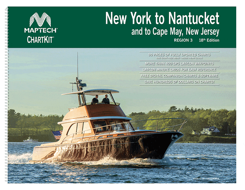
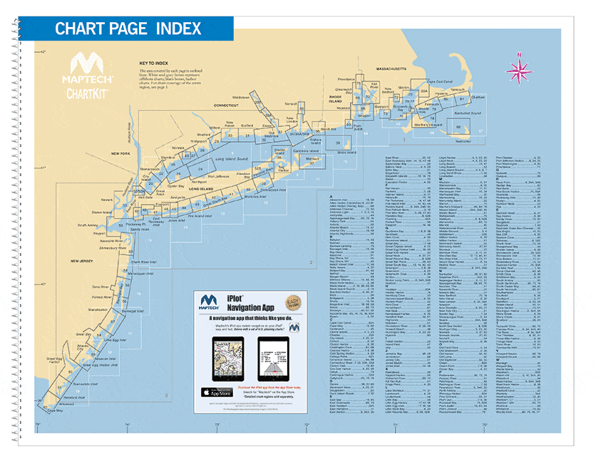
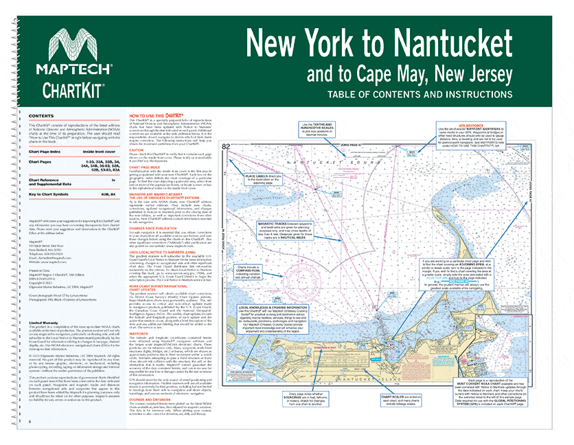
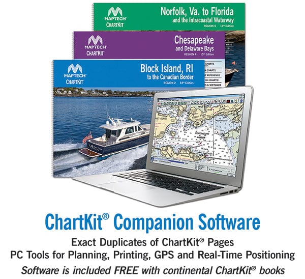
Chart Kit Region 3: New York to Nantucket and Cape May NJ, 18th Edition
Chart Kit Region 3: New York to Nantucket and Cape May NJ, 18th Edition
Maptech Chart Kit Region 3, 17th Edition 2019 - New York to Nantucket and to Cape May, New Jersey.
Maptech's Chart Kit books are full-color reproductions of NOAA charts bundled together in large cruising regions. Chart Kit has been a mainstay of boating for generations -- more than 1 million Chart Kit books have been sold in the past 40 years!
A Great Value - You'll save up to 90 percent compared to the cost of purchasing individual paper charts.
The Perfect Size - Large enough to plot routes; small enough to fit on your lap.
Easy to Use - Pre-plotted waypoints and latitude/longitude grids for your GPS; magnetic courses for your compass.
Fully Referenced - Geographic and alphabetical indexes quickly point you to the right page.
Reliable - A great primary or secondary navigational reference. No batteries required!
This Chart Kit® Features
- 22" x 17" spiral-bound charts
- Magnetic courses
- Multiple chart scales
- "Go to" page numbers
- Aerial photos
- Companion Software
Check out our Maptech Cruising Bundle for only $149.95!
Informations sur le produit
Informations sur le produit
Livraison et retours
Livraison et retours
Description
Maptech Chart Kit Region 3, 17th Edition 2019 - New York to Nantucket and to Cape May, New Jersey.
Maptech's Chart Kit books are full-color reproductions of NOAA charts bundled together in large cruising regions. Chart Kit has been a mainstay of boating for generations -- more than 1 million Chart Kit books have been sold in the past 40 years!
A Great Value - You'll save up to 90 percent compared to the cost of purchasing individual paper charts.
The Perfect Size - Large enough to plot routes; small enough to fit on your lap.
Easy to Use - Pre-plotted waypoints and latitude/longitude grids for your GPS; magnetic courses for your compass.
Fully Referenced - Geographic and alphabetical indexes quickly point you to the right page.
Reliable - A great primary or secondary navigational reference. No batteries required!
This Chart Kit® Features
- 22" x 17" spiral-bound charts
- Magnetic courses
- Multiple chart scales
- "Go to" page numbers
- Aerial photos
- Companion Software
Check out our Maptech Cruising Bundle for only $149.95!


