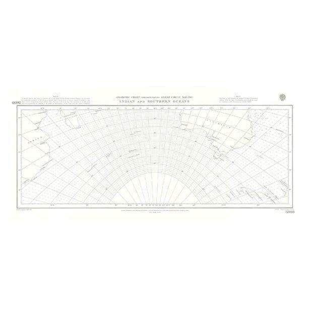
British Admiralty Gnomonic Chart 5096: Great Circle Sailing Southern Atlantic and Southern Oceans
Looking to go digital with your Passage Planning? Check out our Simple E-Navigation Software, SPICA!
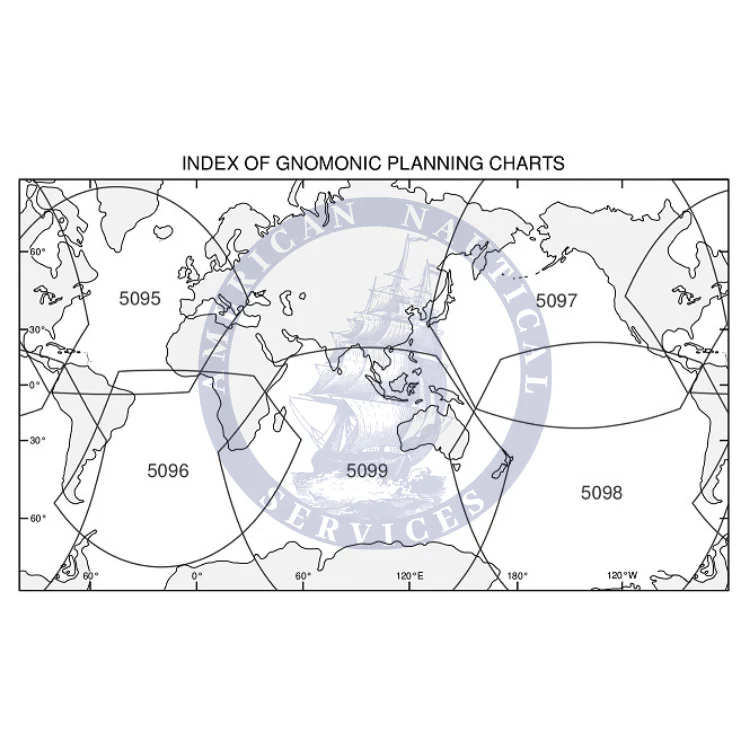
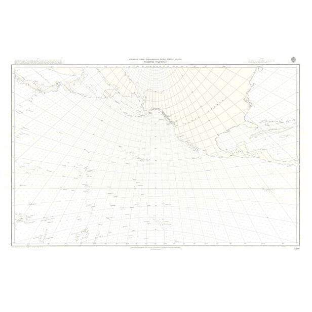
Gnomonic Charts are designed used in passage planning to plot great circle routes as a straight line. These charts are useful for devising composite rhumb line courses.
Fifteen charts are available covering the oceans of the world: North Atlantic, South Atlantic, North Pacific, South Pacific and Indian Ocean.
British Admiralty Routing Paper Charts (United Kingdom Hydrographic Office – UKHO) - A Gnomonic Planning Chart for Great Circle Sailing Southern Atlantic and Southern Oceans
Informations sur le produit
Informations sur le produit
Livraison et retours
Livraison et retours

British Admiralty Gnomonic Chart 5096: Great Circle Sailing Southern Atlantic and Southern Oceans
British Admiralty Gnomonic Chart 5096: Great Circle Sailing Southern Atlantic and Southern Oceans
Looking to go digital with your Passage Planning? Check out our Simple E-Navigation Software, SPICA!
Gnomonic Charts are designed used in passage planning to plot great circle routes as a straight line. These charts are useful for devising composite rhumb line courses.
Fifteen charts are available covering the oceans of the world: North Atlantic, South Atlantic, North Pacific, South Pacific and Indian Ocean.
British Admiralty Routing Paper Charts (United Kingdom Hydrographic Office – UKHO) - A Gnomonic Planning Chart for Great Circle Sailing Southern Atlantic and Southern Oceans
Original : $346,000.00
-70%$346,000.00
$103,800.00Informations sur le produit
Informations sur le produit
Livraison et retours
Livraison et retours
Description
Looking to go digital with your Passage Planning? Check out our Simple E-Navigation Software, SPICA!
Gnomonic Charts are designed used in passage planning to plot great circle routes as a straight line. These charts are useful for devising composite rhumb line courses.
Fifteen charts are available covering the oceans of the world: North Atlantic, South Atlantic, North Pacific, South Pacific and Indian Ocean.
British Admiralty Routing Paper Charts (United Kingdom Hydrographic Office – UKHO) - A Gnomonic Planning Chart for Great Circle Sailing Southern Atlantic and Southern Oceans